Geological, geotechnical, and soil contamination studies supporting safe and sustainable land development.
Foundational Studies for Safe and Sustainable Land Development
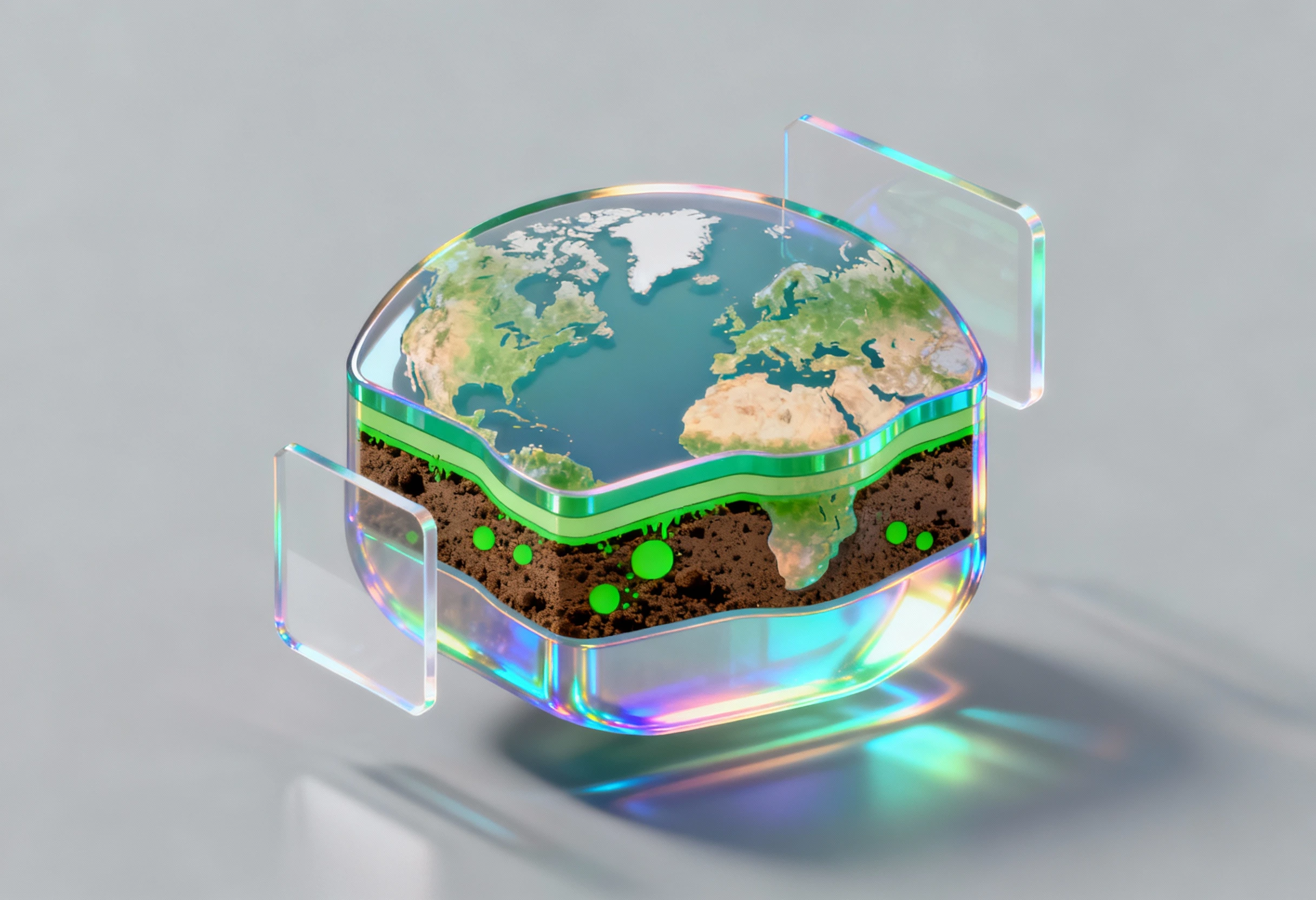
Safe and sustainable development begins beneath the surface. Encode provides essential geo-science and soil studies to support secure land use, construction, and environmental remediation. Our services include detailed geotechnical investigations, soil contamination assessments, and geological hazard analysis. We provide the critical data needed to mitigate risks, ensure structural integrity, and comply with regulations governing soil quality and land stability.
Comprehensive Subsurface Analysis
Our specialized team utilizes advanced techniques for a thorough understanding of the geological and soil conditions of your project site:
1
Geotechnical & Soil Investigations
2
Contaminated Soil Assessment & Remediation
3
Terrain Stability & Geological Hazard Analysis
4
Hydrogeological Mapping
5
Remote Sensing & GIS Land Assessment
6
Subsurface Environmental Monitoring
What is the purpose of a geotechnical investigation?
It determines the physical properties of the soil and rock beneath a site, which is essential for designing safe and stable foundations for buildings and infrastructure.
How do you handle contaminated soil remediation?
We develop a site-specific plan, which may involve excavation, bioremediation, or stabilization, ensuring compliance with local environmental regulations.
What is the role of GIS in your soil studies?
GIS (Geographic Information Systems) is used to map, analyze, and visualize complex spatial data, such as contamination plumes or geological fault lines, for better decision-makingز
Do you assess seismic risk?
Yes, our geological hazard analysis includes assessing the potential for seismic activity and other natural hazards that could impact the project's long-term safety.